At MTCO, we specialize in delivering precise and reliable surveying and geospatial solutions tailored to meet your project’s needs. Our expert team leverages the latest technology and industry best practices to ensure accurate data collection, analysis, and mapping. Below is an overview of the core services we provide:
01.
Land Surveying Services
Precise measurement and mapping of land boundaries and features to support property development, construction, and legal documentation.
02.
Geospatial Data Collection & Analysis
Comprehensive spatial data gathering and GIS analysis to enable informed decision-making and efficient resource management.
03.
Hydrographic Surveying
Specialized surveying of water bodies to support environmental assessments, navigation safety, and marine construction projects.
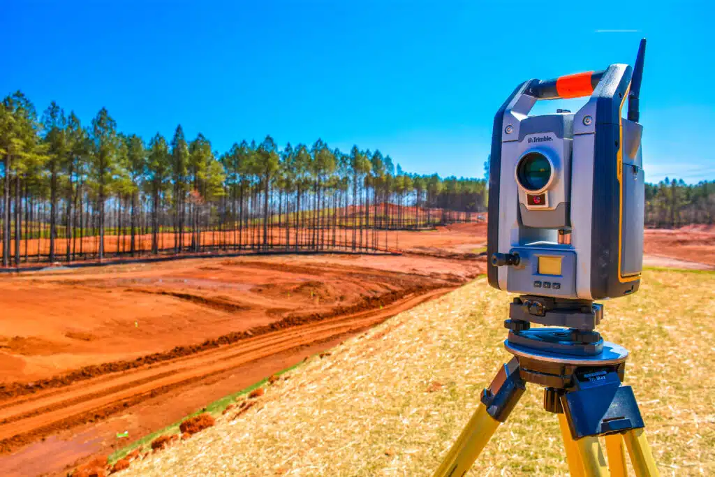
04.
Geodetic Surveying
Establishment of high-accuracy control networks using GPS and GNSS technology for large-scale mapping and engineering projects.
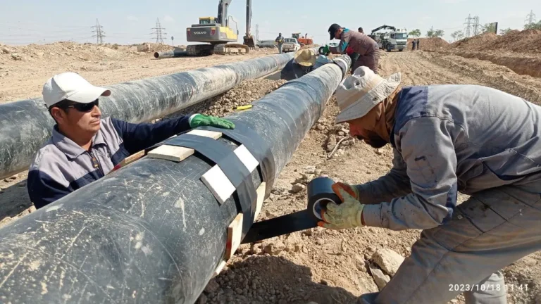
05.
Utility and Infrastructure Surveys
Accurate locating and mapping of utilities and infrastructure to ensure safe construction and effective asset management.
06.
Topographic & Terrain Modeling
Detailed terrain mapping and 3D modeling to assist in site planning, earthworks, and landscape design.