How Can We Help
(+964) 780-103-9999 (+964) 770-293-1111 (+964) 780-901-6624
info@mtco-iq.com
Chat with Us
Download Brochure

Surveying & Geospatial Services: Delivering Precision with Expertise
We offer commitment at all levels of geospatial and surveying projects, from land surveying to geospatial data analysis and mapping services.
Across this diverse field, one thing all our clients share is the trust they place in us to manage and deliver surveying and geospatial projects of the highest accuracy, on time, and on budget – it’s what we’ve built our reputation on.
From initial site surveys and geospatial data collection to complex mapping and analysis, our flexible, multi-skilled team provides comprehensive, innovative, forward-thinking solutions. As your surveying partner, our services can even extend to helping you acquire the necessary permits and develop your land, delivering a streamlined package of work that reduces administrative steps.
Accurate & Reliable
We specialize in providing precise geospatial data and land surveying services for a wide range of projects, from small residential surveys to large-scale infrastructure developments. Our accuracy ensures your project starts with a solid foundation.
Advanced Geospatial Technologies
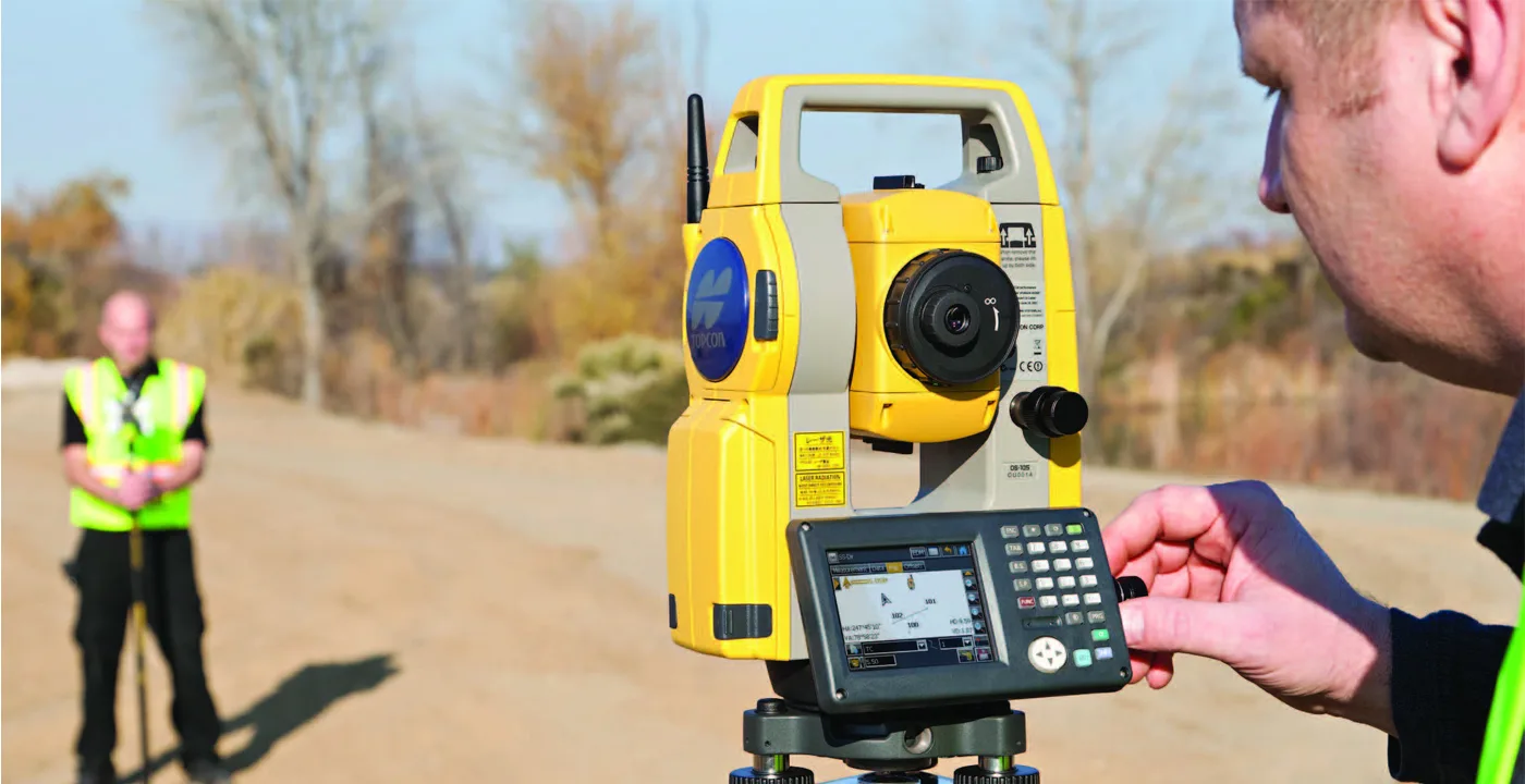
We utilize cutting-edge geospatial technologies like LiDAR, UAVs (drones), and high-precision GPS to provide the most accurate and efficient data collection methods. Our advanced tools enable us to deliver high-quality mapping, modeling, and surveying services for any project.
Experienced Surveying Professionals
With a team of highly skilled surveyors and geospatial specialists, we deliver innovative solutions for site surveys, 3D mapping, GIS data collection, and more. We approach every project with a commitment to quality and precision.
Customized Surveying Solutions
We understand that every project is unique, and we provide tailored surveying solutions to meet specific needs. Whether it’s boundary surveys, topographic mapping, or construction layout, our services are customized to ensure the best outcomes for your project.
No matter the challenge, we build on what we know works and elevate your vision of success
- Precision in Every Project
- Innovative Data Collection Methods
- Custom Solutions for Every Need
- Seamless Integration with Design and Construction
- Environmental and Regulatory Compliance
- 3D Mapping & Modeling Expertise
- Fast and Reliable Turnaround Times
- End-to-End Surveying Support
Frequently asked questions
What types of geospatial services do you offer?
We offer a wide range of geospatial services, including land surveying, 3D mapping, topographic surveys, boundary marking, GIS data collection, and spatial data analysis.
How do you ensure the accuracy of your surveying data?
We use the latest geospatial technologies and state-of-the-art equipment to ensure precise, reliable, and accurate data. Our experienced team also conducts rigorous checks throughout the surveying process to maintain quality control.
Can you handle large-scale surveying projects?
Yes, we have the resources and expertise to handle both small and large-scale projects, from construction site surveys to complex land mapping for infrastructure projects.
Do you provide post-survey support?
Absolutely! We provide ongoing support after survey completion, including assistance with data interpretation, permit applications, and any further project development needs.